KTBL-Tage 2024: Tagungsunterlagen online
Die KTBL-Tage widmeten sich in diesem Jahr der Bedeutung der Nährstoffkreisläufe, ein Thema, das alle Bereiche der landwirtschaftlichen Produktion verbindet und zusammenhält.
Mehrkosten der Schweinehaltung
Umbau der landwirtschaftlichen Tierhaltung
Für das Bundesprogramm zur Förderung des Umbaus der landwirtschaftlichen Tierhaltung haben das Thünen-Institut für Betriebswirtschaft und das KTBL Kostenberechnungen erstellt. Für die Schweinehaltung wurden für die Tierwohlstufen "Außenklima", "Auslauf" und "Öko" der Investitionsbedarf und die laufenden Mehrkosten im Vergleich zu Standardhaltungsverfahren berechnet. Diese Berechnungen wurden im Thünen Working Paper 233 veröffentlicht.
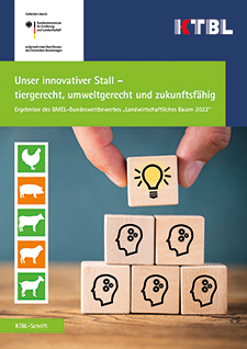
Neuer Bundeswettbewerb "Landwirtschaftliches Bauen"
Die Bewerbungsfrist wurde verlängert. Neuer Einsendeschluss für die Bewerbungen ist der 29. März 2024.
Der Bundeswettbewerb "Landwirtschaftliches Bauen" steht unter dem Motto "Dem Klimawandel begegnen - Ställe mit ganzheitlichem Energiekonzept". Das Bundesministerium will 2024 Stallgebäude auszeichnen, die durch bauliche und technische Maßnahmen gegen Extremwetterlagen gewappnet sind und über clevere Energiekonzepte verfügen. Im Einzelfall winken Preisgelder bis 7.500 Euro.
Nährstoffbilanzierung im ökologischen Landbau
Neue Excel-Anwendung online
Mit der kostenfreien Anwendung "Nutrinet-Nährstoffbilanzierung" können Landwirtinnen und Landwirte Brutto-Schlagbilanzen für Hauptnährstoffe und Spurennährstoffe erstellen. Zudem kann die N-Fixierleistung von Leguminosen standort- und bewirtschaftungsabhängig berechnet werden. Mit Humusbilanzen und der Vergleichsmöglichkeit unterschiedlicher Bewirtschaftungsmaßnahmen bietet NutriNet-Nährstoffbilanzierung weitere nützliche Funktionen.
Die Anwendung ist in dem Projekt NutriNet entstanden, dem Kompetenz- und Praxisforschungsnetzwerk Nährstoffmanagement in der ökologischen Landwirtschaft.
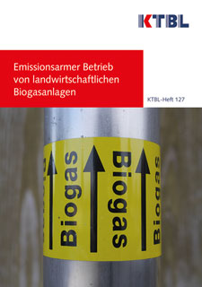
Vergärung lignocellulosereicher Substrate
Neue Web-Anwendung online
Die kostenlose Web-Anwendung "Substratanpassungsrechner Biogas" des KTBL hilft die Auswirkungen einer Substitution von schneller abbaubaren Substrate durch langsamer abbaubare lignocelluslosereicher Rest- und Koppelsubstrate einzuschätzen. Betreiberinnen und Betreibern von Biogasanlagen wird dadurch der Einsatz von lignocellulosereichen Substraten erleichtert - sie können ihr Substratspektrum erweitern und flexibilisieren.
Weite-Reihe-Getreide mit blühender Untersaat
Projektergebnis liegt vor
In einem Modell- und Demonstrationsvorhaben des Bundesministeriums für Ernährung und Landwirtschaft wurden auf integriert wirtschaftenden Betrieben über vier Jahre Sommergerste und Winterweizen mit besonders weitem Reihenabstand und blühender Untersaat untersucht. Die Ergebnisse liegen nun vor: In einer 24-seitigen Broschüre präsentieren die Projektpartner - das ifab und das KTBL - Ergebnisse und Empfehlungen. Die Broschüre kann kostenfrei als PDF-Datei heruntergeladen werden.
Broschüre "Weite-Reihe-Getreide " (PDF 8 MB; nicht barrierefrei)
BauKost - Investitionsbedarf landwirtschaftlicher Gebäude
Neue Modelle und Preise
Im November 2023 wurden in der kostenfreien Web-Anwendung "BauKost" 4 neue Maschinenhallen, 3 weitere Ferkelaufzuchtställe sowie 4 Milchviehställe zusätzlich online gestellt. Gleichzeitig wurde der Preisindex für 2023 aktualisiert.